 FAO Map Catalog
inlandWaters
Type of resources
Available actions
Topics
Keywords
Contact for the resource
Provided by
Years
Formats
Representation types
Update frequencies
status
Scale
Resolution
-
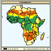
Spatial distribution of water temperature regimes most favourable for warm water fish farming given one and two crops per year. Using the Nile tilapia as a model, fish farming was assessed for three water temperature regimes corresponding to two crops/year with good growth (temperature)
-
Cross-Table of Chemistry/Biology data. The WL_CMBIO tabular data layer is comprised of 813 derivative tabular/point limnological, world lakes and rivers features derived based on data originally from FAO. The layer provides nominal analytical/mapping at 1:5 000 000. Acronyms and Abbreviations: FAO - Food and Agriculture Organization in the United Nations.
-
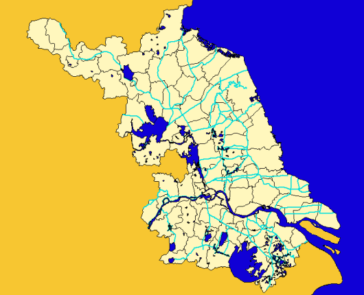
Major streams of Jiangsu Province, China at County level
-
Include: Soils
-
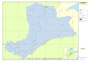
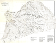
Awash River Basin boundary used for the project GCP/GLO/207/ITA
-

Include: Groundwater quality map, Sulphate Concentration range (4 sheets)
-
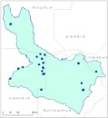
Location of fall, reservoirs, springs and other features within the Okavango River Basin. Source: Digital Chart of the World (DCW). This dataset is part of the GIS Database for the Environment Protection and Sustainable Management of the Okavango River Basin project (EPSMO). Detailed information on the database can be found in the “GIS Database for the EPSMO Project†document produced by Luis Veríssimo (FAO consultant) in July 2009, and here available for download.
-
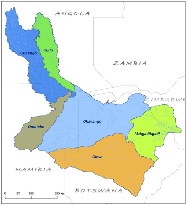
A set of 2 vector layers representing the Okavango River (Macro) Basin and the main sub-basins. Source: Data generated under the GIS EPSMO program. This dataset is part of the GIS Database for the Environment Protection and Sustainable Management of the Okavango River Basin project (EPSMO). Detailed information on the database can be found in the “GIS Database for the EPSMO Project†document produced by Luis Veríssimo (FAO consultant) in July 2009, and here available for download.
-
Enhanced derivative based on annotation layers of DNNET (DCW Drainage Network layer) and DNPNT sources of the DCW translated into point features. The DNPNT_PT shapefile data layer is comprised of 1635 derivative vector surface water bodies features derived based on 1:1 000 000 data originally from DCW. The layer provides nominal analytical/mapping at 1:1 000 000. Acronyms and Abbreviations: DNNET - DCW Drainage Network layer DCW - Digital Chart of the World
-

Linear representation of SWB, Double-Lined River, and Inshore Island Features. The SWBD_LN shapefile data layer is comprised of 54741 derivative vector surface water bodies features derived based on 1:100 000 data originally from SRTM-SWBD. The layer provides nominal analytical/mapping at 1:125 000. Data processing 60% complete globally, with African and Arabian subsets 100% complete. Acronyms and Abbreviations: SWB or SWBD - Surface Water Body; SRTM - Shuttle Radar Topography Mission.