 FAO Map Catalog
Contact for the resource
World Conservation Monitoring Centre (WCMC) and ESRI
Type of resources
Available actions
Topics
Keywords
Contact for the resource
Provided by
Representation types
Update frequencies
status
From
1
-
1
/
1
-
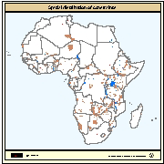
Areas unavailable for inland fish farming development including protected areas (i.e. areas of conservation, wildlife reserves and forests), large inland water bodies and major cities. Delineation of protected areas in digital format (vector) was available from the World Conservation Monitoring Centre (WCMC). Water bodies (perennial lakes and rivers) were derived from the Digital Chart of the World (DCW) from ESRI (1992) at 1 million scale and locations of major cities were provided by ArcWorld at 1:3000,000 scale.