 FAO Map Catalog
Keyword
world lakes and rivers
Type of resources
Available actions
Topics
Keywords
Contact for the resource
Provided by
Years
Representation types
Update frequencies
status
Scale
From
1
-
1
/
1
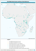
-
Spatially referenced point locations of World Lake features. The AF_WLDLK shapefile data layer is comprised of 1887 derivative tabular/point limnological, world lakes and rivers features derived based on 1:5 000 000 data originally from FAO. The layer provides nominal analytical/mapping at 1:5 000 000. Data processing 60% complete globally, with African and Arabian subsets 100% complete. Acronyms and Abbreviations: FAO - Food and Agriculture Organization in the United Nations.