 FAO Map Catalog
fishery
Type of resources
Available actions
Topics
Keywords
Contact for the resource
Provided by
Years
Formats
Representation types
Update frequencies
status
Scale
-
Polygon version of the linear data source UN_coast.shp file provided by the UN Cartographic Section. The original data is part of the 1:15 million-scale dataset which reflects, along with the 1:1 million-scale dataset, the cartography practice of the UN Cartographic Section for the representation of International Boundaries.
-

Global Simplified Coastline (polygon version) extracted from the GAUL 2006 national level and simplified to produce a layer of continents and coastline suitable for thematic maps display purpose.
-
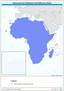
Vectorized 8-by-8 Kilometer Grid Reference (Point). The RFE_PT shapefile data layer is comprised of 471688 derivative calculated precipitation features derived based on 8 kilometers data originally from EDC. The layer provides nominal analytical/mapping at 1:35 000 000. Acronyms and Abbreviations: EDC - USGS EROS (Earth Resources Observation Systems) Data Center.
-
Information on state of stocks and fishery status are provided by the FIRMS partners and is published in the form of fact sheets.
-
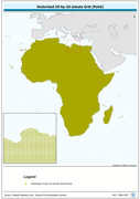
Vectorized 10-by-10 minute Grid (Point). The CRU_PT shapefile data layer is comprised of 92718 derivative calculated climate features derived based on 0.167 degrees resolution data originally from CRU. The layer provides nominal analytical/mapping at 1:70 000 000. Acronyms and Abbreviations: CRU - Climatic Research Unit - School of Environmental Sciences, University of East Anglia - Norwich.
-
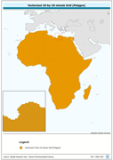
Vectorized 10-by-10 minute Grid (Polygon). The CRU_PY shapefile data layer is comprised of 92718 derivative calculated climate features derived based on 0.167 degrees resolution data originally from CRU. The layer provides nominal analytical/mapping at 1:70 000 000. Acronyms and Abbreviations: CRU - Climatic Research Unit - School of Environmental Sciences, University of East Anglia - Norwich.
-
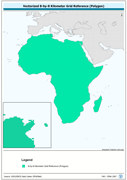
Vectorized 8-by-8 Kilometer Grid Reference (Polygon). The RFE_PY shapefile data layer is comprised of 471688 derivative calculated precipitation features derived based on 8 kilometers data originally from EDC. The layer provides nominal analytical/mapping at 1:35 000 000. Acronyms and Abbreviations: EDC - USGS EROS (Earth Resources Observation Systems) Data Center.
-

Continental shelf defined by 200 meters isobath, extracted from the General Bathymetric Chart of the Oceans (GEBCO) Digital Atlas - Centenary Edition.
-
This is a global dataset containing polygons of Exclusive Economic Zones. The layer, along with a polyline shapefile representing the world maritime boundaries and the extended continental Shelf of Australia, is included in VLIZ (2009) Maritime Boundaries Geodatabase - Version 5. The downloadable package (World EEZ v5 (86 MB) is available at http://www.vliz.be/vmdcdata/marbound/index.php Data Source: Flanders Marine Institute, Belgium. Data available online at http://www.vliz.be/vmdcdata/marbound/index.php Information on Methodology available at http://www.vliz.be/vmdcdata/marbound/methodology.php Data Contact: Nathalie De Hauwere: GIS Expert Francisco Hernandez: Manager Flanders Marine Datacentre Bart Vanhoorne: IT-specialist at http://www.vliz.be/vmdcdata/marbound/contact.php
-
All waters beyond areas of national jurisdiction in the area bounded by a line joining the following points along parallels of latitude and meridians of longitude:Beginning at the outer limit of waters under national jurisdiction at a point 6° South, thence due west along the 6º South parallel to the meridian 10° West, thence due north along the 10º West meridian to the equator, thence due west along the equator to the meridian 20° West, thence due south along the 20º West meridian to a parallel 50° South, thence due east along the 50º South parallel to the meridian 30° East, thence due north along the 30º East meridian to the coast of the African continent.