 FAO Map Catalog
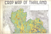
Rice
Type of resources
Available actions
Topics
Keywords
Contact for the resource
Provided by
Formats
Representation types
Update frequencies
status
Scale
Resolution
-
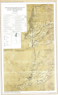
Series AMS 1301-GSGS 4646, Ed. 5 (3 Sheets); Description of the mapping units
-

Include: Suitability for irrigated paddy of a part of the Central plain (3 Sheets)
-
Includes: Proportion of land suitable for cultivation of oilseeds (mainly groundnuts, mustard and rapeseed (Map 5)
-
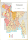
Include: Land capability for upland crops, Suitability for paddy (Wetland rice) Geomorphological map of the survey area in Chiang Rai province (250000) (2 Sheets)
-
Includes: Land development units (Map 7)
-
Include: Sumatra: Land capability classification for upland crop cultivation - Sumatra: Land suitability groups for wetland rice - Maluku; Irian Jaya: Land capability classification for upland crop cultivation - Maluku; Irian Jaya: Land development units for Maluku and Irian Jaya - Land suitability groups for wetland rice for Maluku and Irian Jaya - Sulawesi; Nusa Tenggara; Lesser Sundas: Land capability classification for upland crop cultivation - Sulawesi; Nusa Tenggara: Land suitability groups for wetland rice.
-

Includes: Additional crop production possible from introduction of irrigated Irri rice (Map 4)
-

Coverage: India, Pakistan, Bangladesh-
-
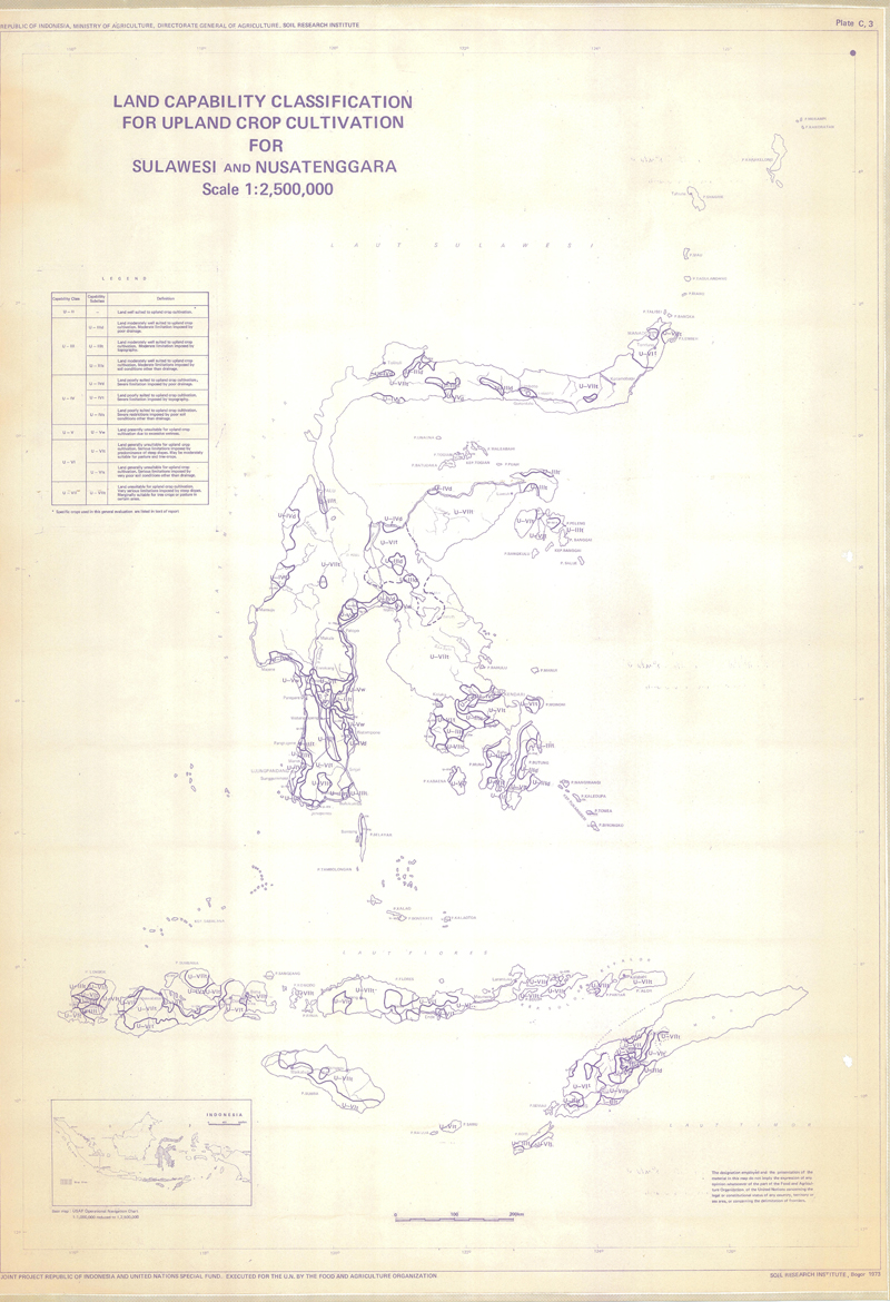
Include: land capability classification for cultivation for sulawesi andnusatenggara
-

Include: Maluku and Irian Jaya - Land capability groups for wetland rice for Maluku and Irian Jaya -