 FAO Map Catalog
Horn of Africa
Type of resources
Available actions
Topics
Keywords
Contact for the resource
Provided by
Years
Representation types
Update frequencies
status
Scale
-
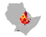
Teff yield in Djibouti, Eritrea, Ethiopia, Kenya, Somalia, Sudan and Uganda. Map presents reference yield estimated through data collection and agricultural statistics.
-
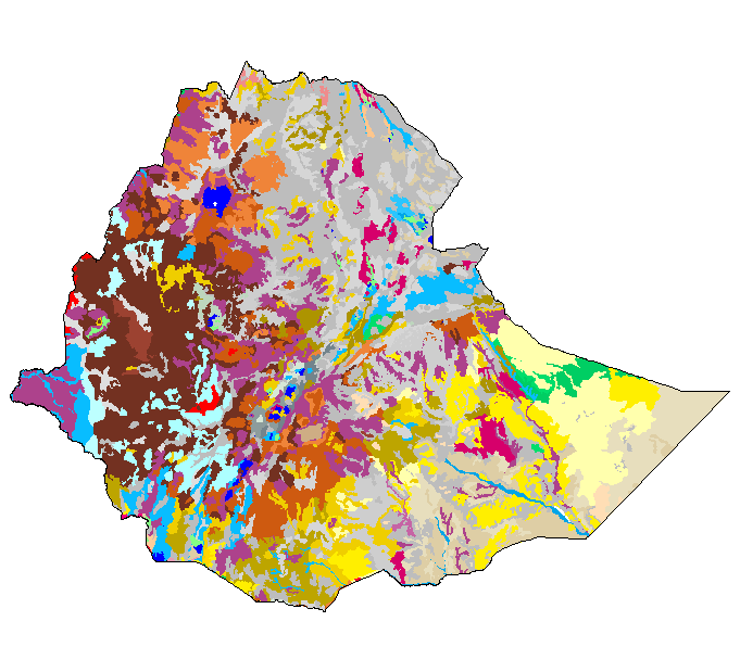
The Soil and Terrain Database Map of East Africa is a computer system for the storage, display, interpretation and analysis of the Soil Map of East Africa at scale 1:1.000.000. The system consists of the soil and terrain database with corresponding soil maps, that are accessed by the programme for visualization in different viewer formats. Various interactive querying and selection tools provide easy access to specific parts of the database for display as thematic map, data browser or data entry form.
-
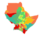
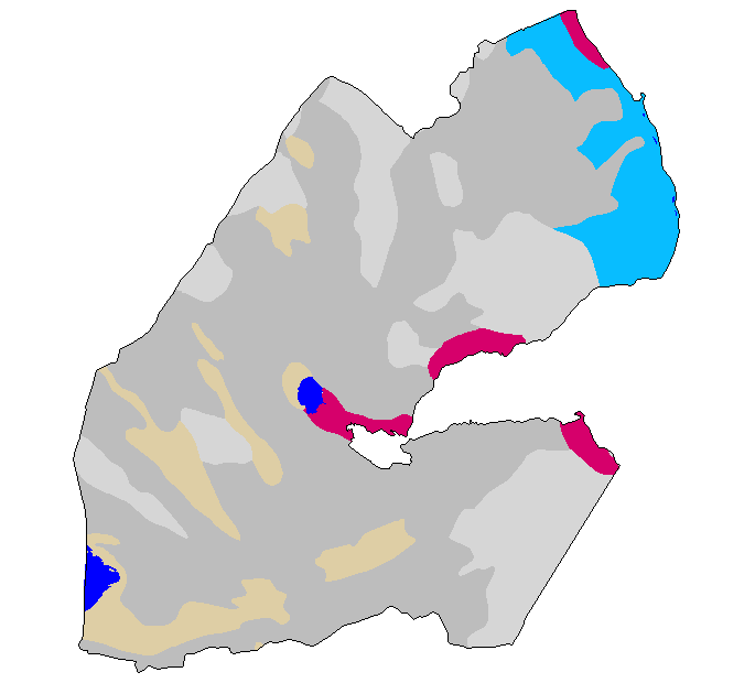
Inherent soil fertility class in Djibouti, Eritrea, Ethiopia, Kenya, Somalia, Sudan and Uganda.
-
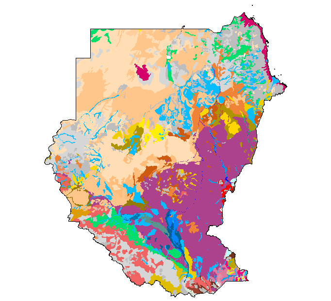
The Soil and Terrain Database Map of East Africa is a computer system for the storage, display, interpretation and analysis of the Soil Map of East Africa at scale 1:1.000.000. The system consists of the soil and terrain database with corresponding soil maps, that are accessed by the programme for visualization in different viewer formats. Various interactive querying and selection tools provide easy access to specific parts of the database for display as thematic map, data browser or data entry form.
-
Average annual Potential Evapotranspiration (PET) in Djibouti, Eritrea, Ethiopia, Kenya, Somalia, Sudan and Uganda.
-
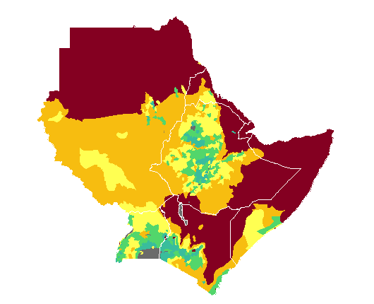
Cropping density in Djibouti, Eritrea, Ethiopia, Kenya, Somalia, Sudan and Uganda. Cropping density is a qualitative parameter indicating the intensity of crop cultivation.
-

Normalized Difference Vegetation Index (NDVI) average (1982-1990) in Djibouti, Eritrea, Ethiopia, Kenya, Somalia, Sudan and Uganda. This index is recorded by satellites. It is a measure of photosynthetically active green biomass, and ranges from -0.1 to 0.65. The higher the index, the more living green biomass (natural vegetation and crops if any) can be found.
-
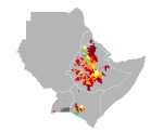
Wheat yield in Djibouti, Eritrea, Ethiopia, Kenya, Somalia, Sudan and Uganda. Map presents reference yield estimated through data collection and agricultural statistics.