 FAO Map Catalog
Biota
Type of resources
Available actions
Topics
Keywords
Contact for the resource
Provided by
Years
Formats
Representation types
Update frequencies
status
Scale
Resolution
-
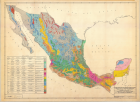
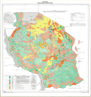
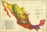
Esquema de suelos de la republica Mexicana Primer Intento de aplicacion del sistema comprensible de clasificacion 7a. aproximacion (4 000 000)
-
As part of the the World Bank's review of its rural development strategy, the Bank sought the assistance of the Food and Agriculture Organization of the United Nations (FAO) in evaluating how farming systems might change and adapt over the next thirty years. Amongst other objectives, the World Bank asked FAO to provide guidance on priorities for investment in food security, poverty reduction, and economic growth, and in particular to identify promising approaches and technologies that will contribute to these goals. The results of the study are summarized in a set of seven documents, comprising six regional reports and the global overview contained in this volume. This document, which synthesises the results of the six regional analyses as well as discussing global trends, cross-cutting issues and possible implementation modalities, presents an overview of the complete study. This document is supplemented by two case study reports of development issues of importance to farming systems globally.
-
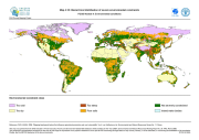
The FGGD severe environmental constraints map is a global raster datalayer with a resolution of 5 arc-minutes. Pixels with no severe environmental constraints contain a value of zero. Each other pixel contains a cumulative class value that shows which environmental constraint is binding in the pixel area. The data are from FAO and IIASA, 2000, Global agro-ecological zones, as reported in FAO and IIASA, 2007, Mapping biophysical factors that influence agricultural production and rural vulnerability, by H. von Velthuizen et al.
-
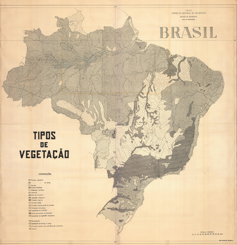
Tipos de vegetacao; Vegetation Map
-
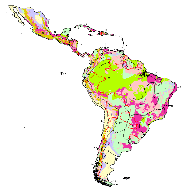
Vegetation cover types
-
Mapa de tipos de vegetacion de la Republica Mexicana
-

Limon, Costa Rica, Uso potencial de la tierra
-
Landscape ecological vegetation map of Lake Manyara, National Park, Tanzania
-
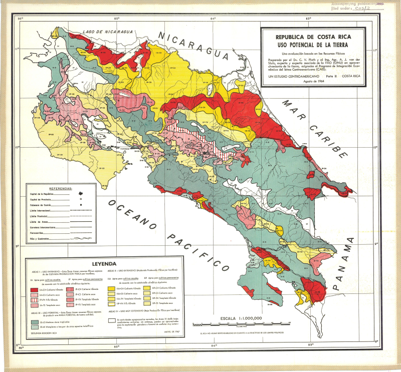
Uso potencial de la tierra
-
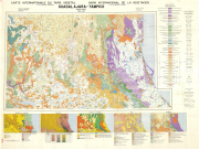
Include: Guadalajara, Tampico : Ethnic Groups, Bioclimate, Geology, Lithology, Soils, Forestry (Cartons) (5000000).