 FAO Map Catalog
Bangladesh
Type of resources
Available actions
Topics
Keywords
Contact for the resource
Provided by
Years
Formats
Representation types
Update frequencies
status
Scale
Resolution
-
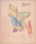
General soil map (2 sheets; hand-coloured + b&w)
-
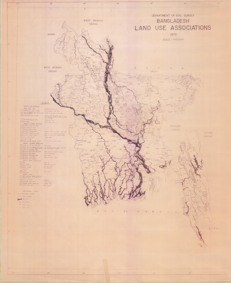
Land use associations
-

Land cover of Bangladesh for the year 2015 based on SPOT 6m multispectral image segmentation and interpretation. Land cover classes are defined using Land Cover Classification System (LCCS) and are based on the National Land Representation system (NLRS).
-
Land suitability analysis map provides information about land suitability for different landscape restoration activities. In Cox’s Bazar, socio-economic and biophysical information about wood fuel demand and supply were used to assess gaps and needs in support to safe access to fuel and energy as well as to sustainable land degradation. Source: Bangladesh Forestry Department, FAO, IOM
-

This dataset displays the countries that have made used of the Open Foris tools for the national forest monitoring. Open Foris is a free open-source software launched by FAO for environmental monitoring. It consists of a set of tools which facilitate flexible and efficient data collection, analysis and reporting and developed in collaboration with countries. These tools can be used for a wide range of monitoring purposes such as forest inventories, climate change reporting, socio-economic surveys, biodiversity assessment, land use and forestry measurement and deforestation monitoring with remote sensing. Bangladesh, among other countries, took advantage from the use of the Open Foris platform for the creation of critical information on forest and land, enhancing the country’s efforts to mitigate and adapt to climate change and contributing to investment plans.
-
In 2015, the Bangladesh Forest Department, with technical support from FAO, and financial support from USAID, launched the project “strengthening National Forest Inventory and Satellite Land Monitoring in Support of REDD+ in Bangladesh”. Through this project, a robust and modern national forest monitoring system was developed, using the latest FAO tools such as Open Foris and LCCS to collect about 2000 permanent field inventory plots and over 6000 household surveys all over the country, integrating biophysical and socio-economic data and information.
-
The dataset represents the tree cover of Bangladesh. Trees and forests play a vital role in providing livelihood to the people living around forests. Forestry sector contributed to 3% of country’s GDP. However, GDP calculation does not take into consideration forestry contribution in term of energy, fodder, small timber and poles, thatching grass, medicinal herbs, and other forestry products. Data source: Bangladesh Forest Department
-
Data source: Bangladesh Forest Information System
-
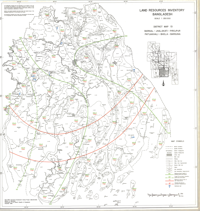
Include: Barisal; Jhalakati; Pirojpur; Patuakhali; Bhola; Barguna (District map 13); Land use Map