 FAO Map Catalog
2000000
Type of resources
Available actions
Topics
Keywords
Contact for the resource
Provided by
Years
Formats
Representation types
Update frequencies
status
Scale
-
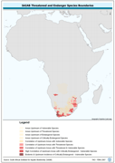
Threatened to endangered species watershed boundaries based SAIAB and HYDRO1k. Source: SAIAB and HYDRO1k, "river" flow, and watershed networks based on the GTopo30. The AQSP_THRTND_PY shapefile data layer is comprised of 92 derivative polygon aquatic species features derived based on 1:2 000 000 data originally from SAIAB. The layer provides nominal analytical/mapping at 1:2 000 000. Acronyms and Abbreviations: SAIAB - South African Institute for Aquatic Biodiversity; HYDRO1k - Global Hydrological 1 kilometre database of hydrologically filled DEMs; DEM - Digital Elevation Model; GT30/GTopo30 - Global Topographic 30 arc second DEM database, nominal 1km postings.
-
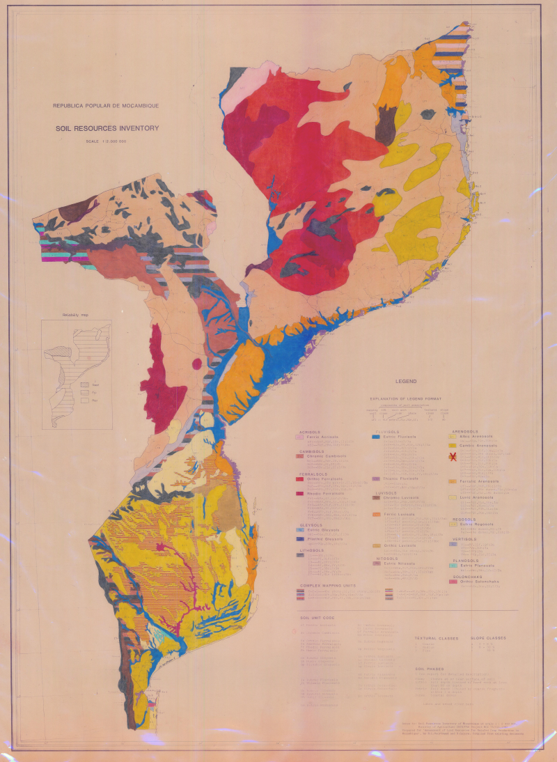
Soil resources inventory
-

Distribution of the Karoo in Botswana; Geological Map
-

Remote sensing Centre of the FAO â Project AG-DP NAM 83/003 (2 000 000)
-
Includes: Areas best suited for concentrated extension effort for Irri rice varieties and Jute (Map 1)
-
Includes: Proportion of land suitable for cultivation of oilseeds (mainly groundnuts, mustard and rapeseed (Map 5)
-
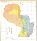
Soil map of Paraguay
-
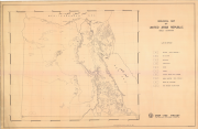
Geological map of United Arab Republic
-
Geological map of Ethiopia
-

H1k_FLOW: River "flow accumulation" network from the HYDRO1k for Africa, reprojected to decimal degrees from Lambert Azimuthal Equal Area base, the only "networked" AWRD River layer. HYDRO1k is the Global Hydrological 1 kilometre database of hydrologically filled DEMs, "river" flow, and watershed networks based on the GTopo30. The H1K_FLOW shapefile data layer is comprised of 15478 derivative raster watershed and flow network features derived based on 4 000 cell data originally from HYDRO1k. The layer provides nominal analytical/mapping at 1:2 000 000. Data processing is complete globally, this is an African subset. HYDRO1k - HYDRO1k - Global Hydrological 1 kilometre database of hydrologically filled DEMs; AWRD - FAO-FIMA?s African Water Resources Database & Tools Interface; DEM - Digital Elevation Model.