 FAO Map Catalog
2-11
Type of resources
Available actions
Keywords
Contact for the resource
Provided by
Years
Representation types
Update frequencies
status
Scale
-
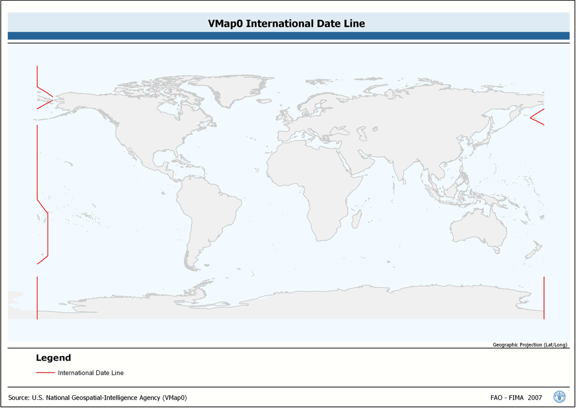
Seamless and topologically robust derivative of linear VMap0 - Ed5 Industry and related data layers. The INTDT_LN shapefile data layer is comprised of 82 derivative vector framework library features derived based on 1:1 000 000 data originally from VMap0, 5th Edition. The layer provides nominal analytical/mapping at 1:1 000 000. Data processing complete globally, this is an African subset. Acronyms and Abbreviations: VMap0 - Vector Map for Level 0.
-
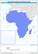
Vectorized 8-by-8 Kilometer Grid Reference (Point). The RFE_PT shapefile data layer is comprised of 471688 derivative calculated precipitation features derived based on 8 kilometers data originally from EDC. The layer provides nominal analytical/mapping at 1:35 000 000. Acronyms and Abbreviations: EDC - USGS EROS (Earth Resources Observation Systems) Data Center.
-
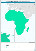
Vectorized 8-by-8 Kilometer Grid Reference (Polygon). The RFE_PY shapefile data layer is comprised of 471688 derivative calculated precipitation features derived based on 8 kilometers data originally from EDC. The layer provides nominal analytical/mapping at 1:35 000 000. Acronyms and Abbreviations: EDC - USGS EROS (Earth Resources Observation Systems) Data Center.