 FAO Map Catalog
1997
Type of resources
Available actions
Topics
Keywords
Contact for the resource
Provided by
Years
Representation types
Update frequencies
status
Scale
-
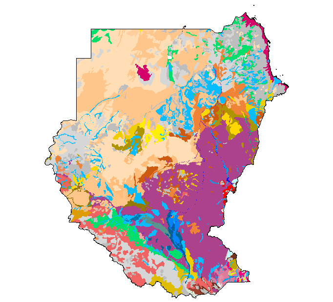
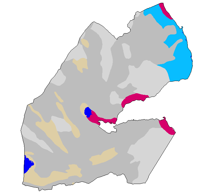
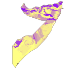
The Soil and Terrain Database Map of East Africa is a computer system for the storage, display, interpretation and analysis of the Soil Map of East Africa at scale 1:1.000.000. The system consists of the soil and terrain database with corresponding soil maps, that are accessed by the programme for visualization in different viewer formats. Various interactive querying and selection tools provide easy access to specific parts of the database for display as thematic map, data browser or data entry form.
-

Problem soils of Africa. Resolution grid: 5 arc minutes.
-

The Soil and Terrain Database Map of East Africa is a computer system for the storage, display, interpretation and analysis of the Soil Map of East Africa at scale 1:1.000.000. The system consists of the soil and terrain database with corresponding soil maps, that are accessed by the programme for visualization in different viewer formats. Various interactive querying and selection tools provide easy access to specific parts of the database for display as thematic map, data browser or data entry form.
-
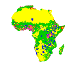
Estimate of food self suffficieny based on population density and expressed in terms of the number of kilograms per person.The map also includes protected areas.
-

The Soil and Terrain Database Map of East Africa is a computer system for the storage, display, interpretation and analysis of the Soil Map of East Africa at scale 1:1.000.000. The system consists of the soil and terrain database with corresponding soil maps, that are accessed by the programme for visualization in different viewer formats. Various interactive querying and selection tools provide easy access to specific parts of the database for display as thematic map, data browser or data entry form.
-
Estimate of food self sufficiency based on population density and expressed in terms of the number of kilograms per person. The map also includes protected areas.
-

The Soil and Terrain Database Map of East Africa is a computer system for the storage, display, interpretation and analysis of the Soil Map of East Africa at scale 1:1.000.000. The system consists of the soil and terrain database with corresponding soil maps, that are accessed by the programme for visualization in different viewer formats. Various interactive querying and selection tools provide easy access to specific parts of the database for display as thematic map, data browser or data entry form.
-
The Soil and Terrain Database Map of East Africa is a computer system for the storage, display, interpretation and analysis of the Soil Map of East Africa at scale 1:1.000.000. The system consists of the soil and terrain database with corresponding soil maps, that are accessed by the programme for visualization in different viewer formats. Various interactive querying and selection tools provide easy access to specific parts of the database for display as thematic map, data browser or data entry form.