 FAO Map Catalog
Goat density in South America
Simple
- Date ( Creation )
- 2001
- Edition
- first
- Presentation form
- Digital map
- Status
- Completed
- Keywords ( Theme )
-
- farming
- livestock
- goat
- model
- Tag_AGAL
- Keywords ( Place )
-
- South America
- Spatial representation type
- Grid
- Metadata language
- eng
- Character set
- UTF8
- Topic category
-
- Farming
N
S
E
W
))
- Reference system identifier
- Geographic system lat/long
- Number of dimensions
- 2
- Dimension name
- Row
- Dimension size
- 1440
- Dimension name
- Column
- Dimension size
- 960
- Cell geometry
- Area
- Protocol
- WWW:LINK-1.0-http--link
- Function
- Information
- Hierarchy level
- Dataset
gmd:MD_Metadata
- File identifier
- c5b61980-88fd-11da-a88f-000d939bc5d8 XML
- Metadata language
- eng
- Character set
- UTF8
- Date stamp
- 2004-10-21T14:38:21
- Metadata standard name
- ISO 19115:2003/19139
- Metadata standard version
- 1.0
Point of contact
AGAH - FAO
-
Jan Slingenbergh
(
Animal Health Officer (Integrated Health Management)
)
Via delle Terme di Caracalla
,
Rome
,
RM
,
00100
,
Italy
(+39) 06 570 54 102
- Hours of service
- 8:30 - 17.00
Overviews
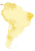
thumbnail
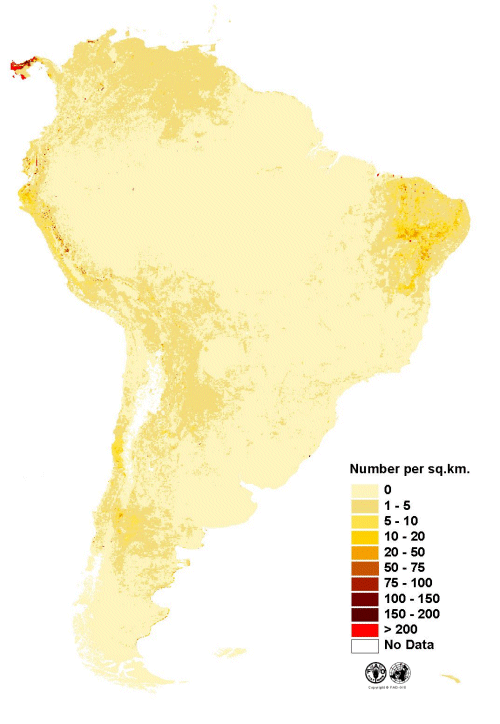
large_thumbnail
Spatial extent
N
S
E
W
Provided by

Associated resources
Not available