 FAO Map Catalog
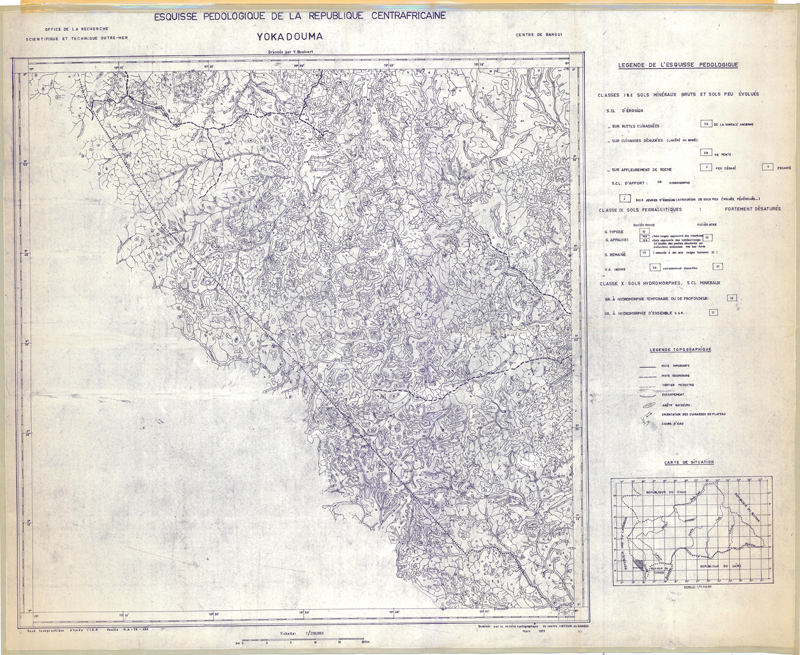
Esquisse pédologique de la République Centrafricaine (Yokadouma)
Coverage:
Yokadouma (Soil Map)
Simple
- Date ( Publication )
- 1973-01-01
- Presentation form
- Hardcopy map
- Status
- Historical archive
Point of contact
FAO - UN AGL Documentation Center
Via delle Terme di Caracalla
,
Rome
,
00100
,
Italy
- Hours of service
- 8.30 - 17.00
- Keywords
-
- Soils
- Soil Classification
- Keywords
-
- Soil Types
- Keywords ( Place )
-
- Cent Afr Rep
- Denominator
- 200000
- Metadata language
- fre
- Character set
- UTF8
- Topic category
-
- Geoscientific information
N
S
E
W
))
- Supplemental Information
- ISIS Identifier: 000666; Number of sheets: 11; Type of material: b&w
Distributor
- Ordering instructions
- Location of the data: FAO - AGL CAF/SOILS
- Name
- No digital format
- Version
- n.a.
- OnLine resource
- central_africa_repubblic-666-esquisse_pedologique-yokadouma-soils-1-200,000.jpg ( WWW:DOWNLOAD-1.0-http--download )
- Hierarchy level
- Dataset
gmd:MD_Metadata
- File identifier
- 287b2d8c-4dbd-4398-ab59-1a12955651fd XML
- Metadata language
- eng
- Character set
- UTF8
- Date stamp
- 2021-05-05T12:30:13
- Metadata standard name
- ISO 19115:2003/19139
- Metadata standard version
- 1.0
Custodian
FAO - UN AGL Documentation Center
-
Viale delle Terme di Caracalla
,
Rome
,
RM
,
00100
,
Italy
Overviews
large_thumbnail

thumbnail
Spatial extent
N
S
E
W
Provided by

Associated resources
Not available