 FAO Map Catalog
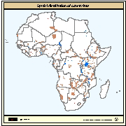
biota
Type of resources
Available actions
Topics
Keywords
Contact for the resource
Provided by
Years
Formats
Representation types
Update frequencies
status
Scale
Resolution
-
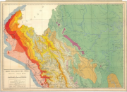
Include: El Obeid: Geology and Vegetation (Sheets 2)
-
Include: Vegetation Map (Vegetacion; formaciones forestales; zonas climaticas)
-
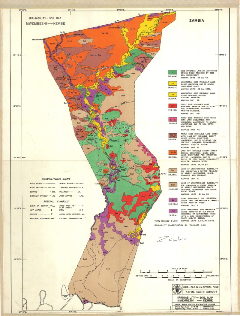
Include: Irrigability-soil map Mwembeshi-Kembe area
-
Distribution of Ecoregions within the Okavango Basin. Source: World Wild Life Fund (WWF). This dataset is part of the GIS Database for the Environment Protection and Sustainable Management of the Okavango River Basin project (EPSMO). Detailed information on the database can be found in the “GIS Database for the EPSMO Project†document produced by Luis Veríssimo (FAO consultant) in July 2009, and here available for download.
-
Areas unavailable for inland fish farming development including protected areas (i.e. areas of conservation, wildlife reserves and forests), large inland water bodies and major cities. Delineation of protected areas in digital format (vector) was available from the World Conservation Monitoring Centre (WCMC). Water bodies (perennial lakes and rivers) were derived from the Digital Chart of the World (DCW) from ESRI (1992) at 1 million scale and locations of major cities were provided by ArcWorld at 1:3000,000 scale.
-
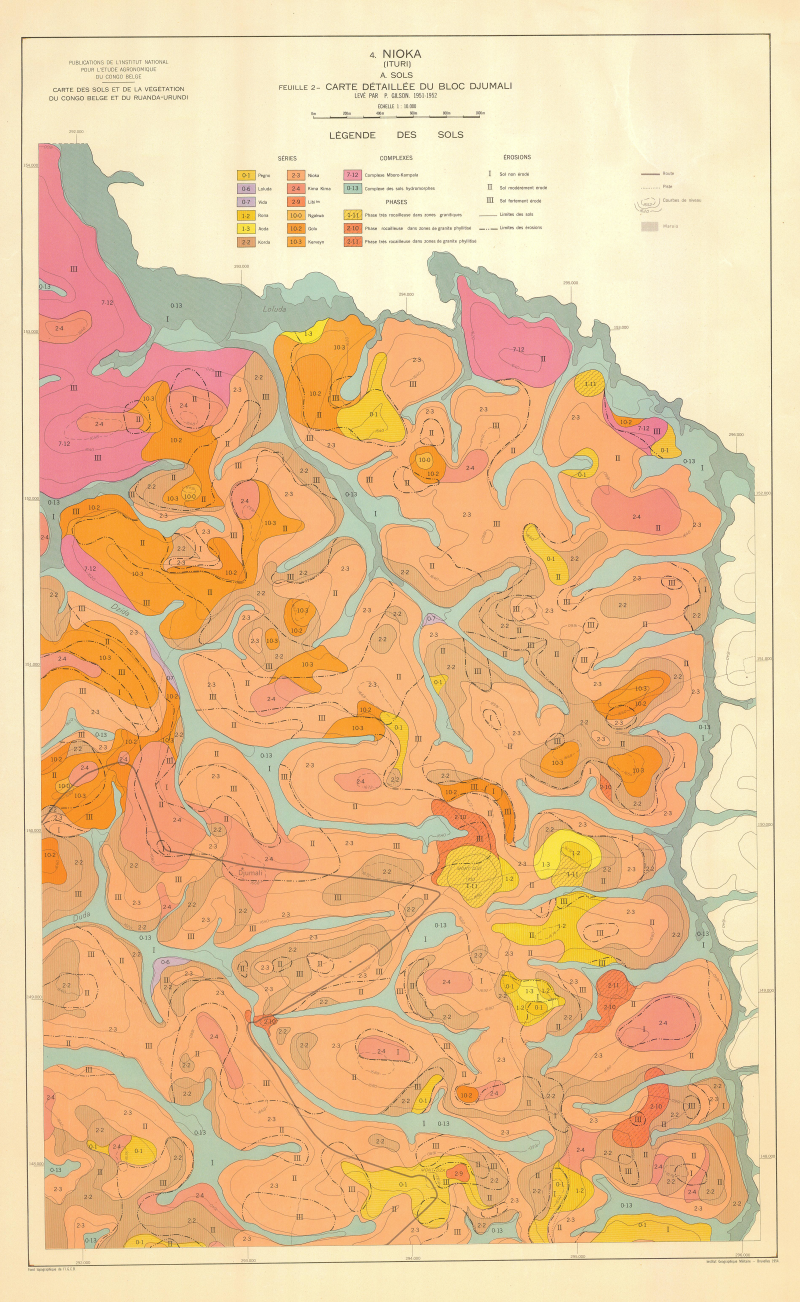
Include: Carte détaillée du bloc Djumali (10 000)
-
Include: Land use Map (Posibilidades de explotacion del agua subterranea, Aptitud de suelos, danos e impedimentos agricolas de la tierra)
-
This vector layer delineates the phytogeographic units within the Okavango Basin. Source: Several (FAO, WCMC, Phytogeographic Chart of Angola). Irreconcilable adjustments between Namibia and Botswana. This dataset is part of the GIS Database for the Environment Protection and Sustainable Management of the Okavango River Basin project (EPSMO). Detailed information on the database can be found in the “GIS Database for the EPSMO Project†document produced by Luis Veríssimo (FAO consultant) in July 2009, and here available for download.
-
Mapa ecologico del Peru segun la clasificacion de formaciones vegetales del mundo de L.R. Holdridge; (3 Sheets)
-
Include inset maps (5000000) for the following areas: Cape Comorin (Administrative, Soils, Geology, Climate, Crops, land Use)