 FAO Map Catalog
FAO Ethiopia
Type of resources
Topics
Keywords
Contact for the resource
Provided by
Representation types
Update frequencies
status
Scale
-

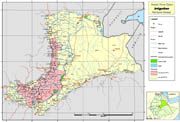
Survey points of small irrigation schemes with attributes, existing large irrigation schemes polygons, and location of existing small/medium schemes from secondary data review. Further info available at: http://www.mowr.gov.et/AWMISET/Index.php Output of project GCP/GLO/207/ITA Data downloadable upon permission given by owner (Ethiopian Ministry of Water and Energy). Please contact the data distributor or any other points of contact associated to this metadata.
-
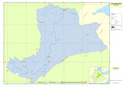
Awash River Basin boundary used for the project GCP/GLO/207/ITA
-
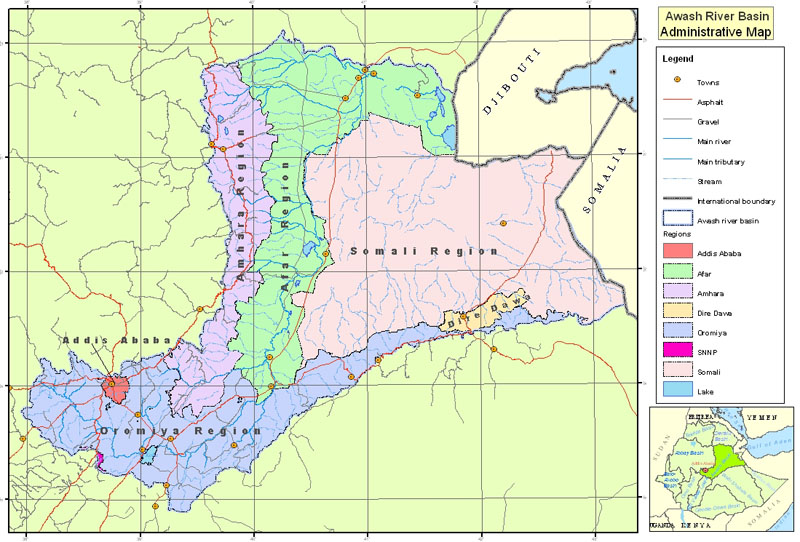
Administrative areas, roads and settlements in Awash River Basin, used for the project GCP/GLO/207/ITA
-
Awash River Basin climatic data used for the project GCP/GLO/207/ITA. The dataset includes: agroecological zones, meteorological stations, rainfall isohyets. Data downloadable upon permission given by owner (Ethiopian Ministry of Water and Energy). Please contact the data distributor or any other points of contact associated to this metadata.
-
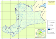
Awash River Basin hydrographic data used for the project GCP/GLO/207/ITA, including rivers, lakes and hydrographic stations within the basin.
-
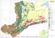
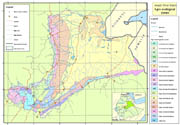
Awash River Basin land cover data used for the project GCP/GLO/207/ITA. Source Ministry of Agriculture and Rural Development.
-
Wereda (administrative units) covered by pilot survey of irrigation schemes for the project GCP/GLO/207/ITA