 FAO Map Catalog
soil types
Type of resources
Available actions
Topics
Keywords
Contact for the resource
Provided by
Years
Representation types
Update frequencies
status
Scale
-

The Soil and Terrain Database Map of East Africa is a computer system for the storage, display, interpretation and analysis of the Soil Map of East Africa at scale 1:1.000.000. The system consists of the soil and terrain database with corresponding soil maps, that are accessed by the programme for visualization in different viewer formats. Various interactive querying and selection tools provide easy access to specific parts of the database for display as thematic map, data browser or data entry form.
-
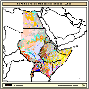
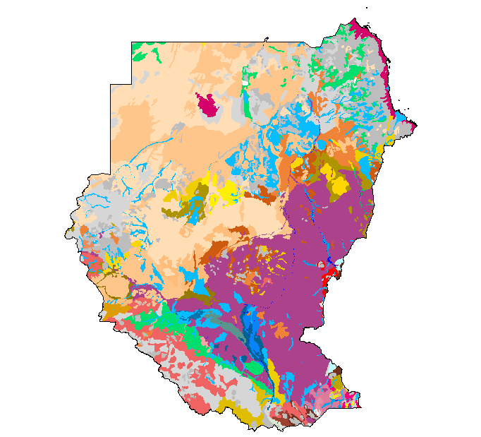
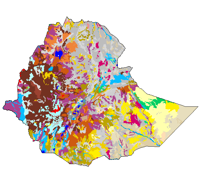
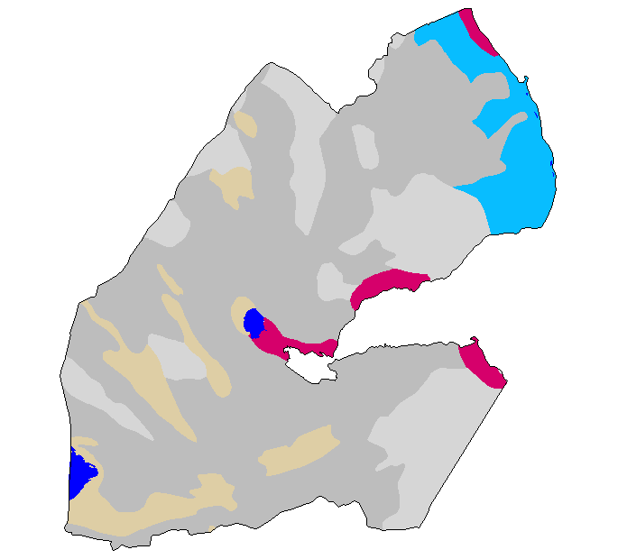
The SEA (Soil and Terrain Database Map of East Africa) is a Digital Soil Map at 1:1000000 scale for the following countries: Burundi, Djibouti, Egypt, Eritrea, Ethiopia, Kenya, Somalia, Sudan, Rwanda, and Uganda. Compilation of the SEA was subcontracted to ISRIC (Netherlands) by FAO in 1988. The main purpose, at that time, was to test the validity of the 1988 revision of the FAO/Unesco legend for the Soil Map of the World at 1:1 million scale. In 1990, the maps and the related tabular databases were automated (converted into digital form), in the FAO Geographic Information System Centre. The final version as been completed and made available in CD-ROM since 1998.