 FAO Map Catalog
orientation
Type of resources
Available actions
Topics
Keywords
Contact for the resource
Provided by
Formats
Representation types
Update frequencies
status
Scale
-
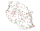
The full resolution dataset of towns was developed from data from the National Imagery and Mapping Agency (NIMA).
-
The full resolution dataset of towns was developed from data from the National Imagery and Mapping Agency (NIMA).
-
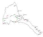
The full resolution dataset of roads have been produced from visual interpretation of digitally enhanced LANDSAT TM images (Bands 4,3,2) acquired mainly in the year 1999.
-
The full resolution dataset of towns was developed from data from the National Imagery and Mapping Agency (NIMA).
-
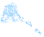
The rivers have been produced from visual interpretation of digitally enhanced LANDSAT TM images (Bands 4,3,2) acquired mainly in the year 1999.
-
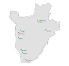
The full resolution dataset of towns was developed from data from the National Imagery and Mapping Agency (NIMA).
-
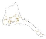
The full resolution dataset of roads have been produced from visual interpretation of digitally enhanced LANDSAT TM images (Bands 4,3,2) acquired mainly in the year 1999.
-
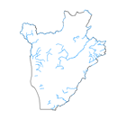
The full resolution dataset of rivers have been produced from visual interpretation of digitally enhanced LANDSAT TM images (Bands 4,3,2) acquired mainly in the year 1999.
-
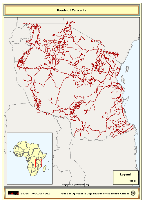
The Roads full resolution dataset have been produced from visual interpretation of digitally enhanced LANDSAT TM images (Bands 4,3,2) acquired mainly in the year 1997.
-
The full resolution dataset of towns was developed from data from the National Imagery and Mapping Agency (NIMA).