 FAO Map Catalog
lakes
Type of resources
Available actions
Topics
Keywords
Contact for the resource
Provided by
Years
Formats
Representation types
Update frequencies
status
Scale
-

The FGGD inland water bodies map is a global raster datalayer with a resolution of 5 arc-minutes. It contains the value -997 where inland water bodies is present, the value 1 for the land. The information of inland water bodies is from the 1991 version of Digital Soil Map of the World.
-
Derived from 1:250 000 scale topographic maps and information from SADC host country ministries on impondments and reservoirs. The SWB_SADC tabular data layer is comprised of 18098 derivative tabular/point sadc lakes, dams and reservoirs features derived based on 1:250 000 data originally from ALCOM. The layer provides nominal analytical/mapping at 1:250 000. Acronyms and Abbreviations: SADC - The Southern African Development Community; WRD - The original SADC Water Resource Database produced by ALCOM; ALCOM - ALCOM - Aquatic Resource Management for Local Community Development Programme; SWB - Surface Water Body.
-
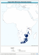
Enhanced derivative based on the original SADC-WRD database of lakes & impoundments, the SADC_SWB shapefile data layer is comprised of 18098 polygons, lakes, dams and reservoirs features derived based on 1:250 000 data originally from ALCOM. Acronyms and Abbreviations: SADC - The Southern African Development Community; WRD - The original SADC Water Resource Database produced by ALCOM; ALCOM - Aquatic Resource Management for Local Community Development Programme; SWB - Surface Water Body.
-
Cross-Table of Chemistry/Biology data. The WL_CMBIO tabular data layer is comprised of 813 derivative tabular/point limnological, world lakes and rivers features derived based on data originally from FAO. The layer provides nominal analytical/mapping at 1:5 000 000. Acronyms and Abbreviations: FAO - Food and Agriculture Organization in the United Nations.
-
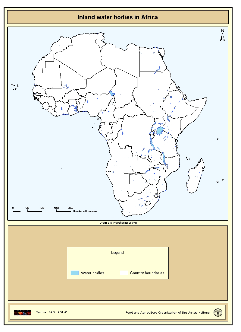
Shapefile of inland water bodies in Africa. This dataset originates from the Digital Chart of the World 1:1000000, 1998. The waterbodies for Africa have been characterized (as lake, lagoon, reservoir etc.) and named (if the names were easily available). The data layer presented contains all the waterbodies that had a name and were not characterized as river.
-

On 8 November 2013, Typhoon Haiyan made landfall in the Philippines causing widespread devastation, tremendous loss of life and catastrophic impact on infrastructure and natural resources. As a result of the devastating damage to agriculture and fisheries sectors and the severe impact on lives and livelihoods FAO has declared Level 3 Emergency Response. In response to the call for needs assessment and coordinating humanitarian assistance in agriculture and fisheries sectors the FAO, Land and Water Division Geospatial Unit collected a number of datasets from various sources including FAO, WFP, UNITAR-UNOSAT, EC-JRC, USDA, USGS as well as updated reports from national agencies as well as the National Disaster Risk Reduction and Management council. A set of data were also used as ancillary data to support the impact assessment analysis. They are organized as follows: BASE LAYERS - Coastline (OCHA); National and sub-national boundaries (FAO GAUL2012); Contour lines (OCHA); Rivers and Lakes (The Philippines' National Mapping and Resource Information Authority- NMRIA); Hydrobasins (FAO) - Cities (NGA/VPAM-0); Points of interest (NMRIA). INFRASTRUCTURES - Roads, Railroads and Airports (NMRIA). LAND COVER AND LAND USE - Land cover (ESA Globcover); Mangroves (FAO GLC-Share); Forest (FAO FRA2010); Land use systems (FAO). FARMING - Cattle density (FAO); Pig density (FAO); Poultry density (FAO).