 FAO Map Catalog
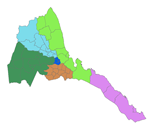
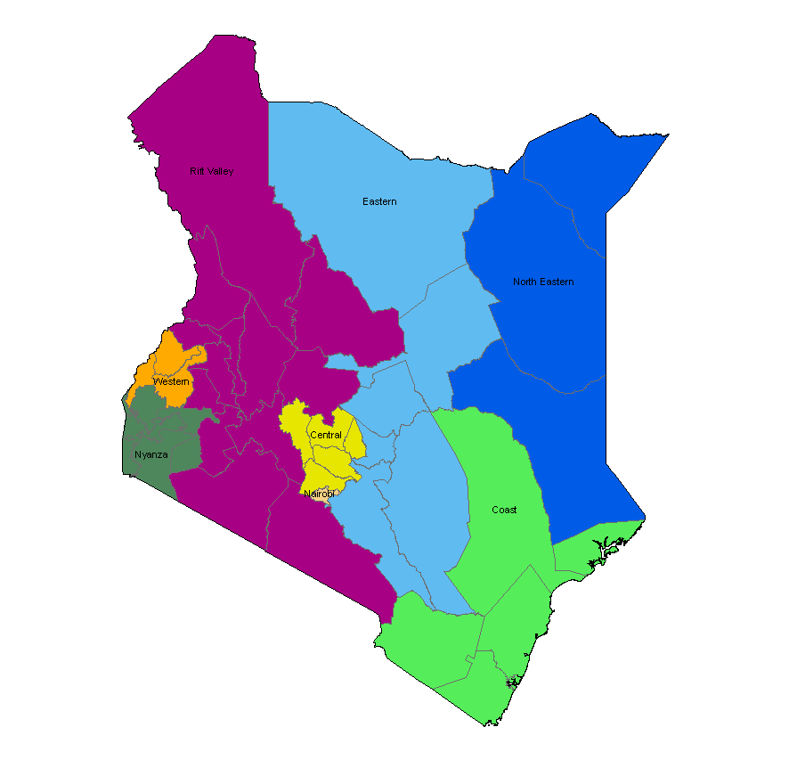
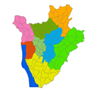
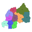
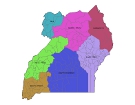
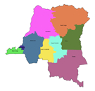
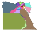
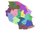
administrative units
Type of resources
Available actions
Topics
Keywords
Contact for the resource
Provided by
Formats
Representation types
Update frequencies
status
Scale
-

The national and administrative boundaries have been taken from the DCW dataset. Coastlines have been adapted to match the land cover dataset.
-
The national and administrative boundaries have been provided by the NFPI. Coastlines have been adapted to match the landcover dataset.
-
The national and administrative boundaries have been provided by the NFPI. Coastlines have been adapted to match the landcover dataset.
-
The national and administrative boundaries have been provided by the NFPI. Coastlines have been adapted to match the landcover dataset.
-
The national and administrative boundaries have been provided by the NFPI. Coastlines have been adapted to match the landcover dataset.
-
The national and administrative boundaries have been provided by the NFPI. Coastlines have been adapted to match the landcover dataset.
-
The national and administrative boundaries have been taken from the DCW dataset. Coastlines have been adapted to match the landcover dataset.
-
The national and administrative boundaries have been provided by the NFPI. Coastlines have been adapted to match the landcover dataset.
-
The national and administrative boundaries have been provided by the NFPI. Coastlines have been adapted to match the landcover dataset.
-

Moisture regime classification at about 9 km resolution at the equator, using different climate data source and based on different Representative Concentration Pathways (RCPs) according to the time period as follows: - climate data source CRUTS32 based on historical data for the time period 1981-2010; - climate data source ENSEMBLE based on the Representative Concentration Pathway RCP8.5 for time periods 2041-2070 and 2071-2100. The Moisture regime classification dataset is part of the GAEZ v4 Theme 1 Land and Water Resources, Agro-Ecological Zones sub-theme. The agro-ecological zones classification provides a characterization of bio-physical resources relevant to agricultural production systems. AEZ definitions and map classes follow a rigorous methodology and an explicit set of principles. The inventory combines spatial layers of thermal and moisture regimes with broad categories of soil/terrain qualities. It also indicates locations of areas with irrigated soils and shows land with severely limiting bio-physical constraints including very cold and very dry (desert) areas as well as areas with very steep terrain or very poor soil/terrain conditions. For further details, please refer to the GAEZ v4 Model Documentation.