 FAO Map Catalog
Keyword
Indonesia
Type of resources
Available actions
Topics
Keywords
Contact for the resource
Provided by
Years
Formats
Representation types
Update frequencies
status
Scale
From
1
-
10
/
71
-
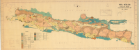
Include: Peta Geologi (Djawa Dan Madura) â Menurut Verbeek dan Fennema (1 000 000)
-

Land use map of Kalimantan
-
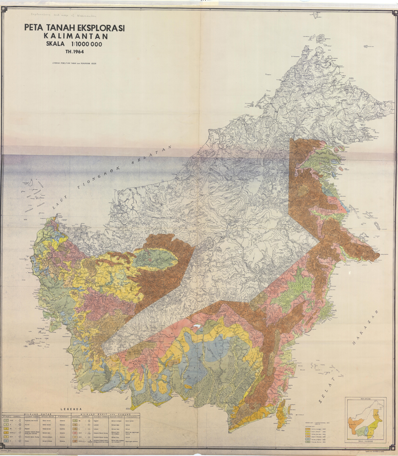
Generalized soil map: (Peta Tanah Eksplorasi Kalimantan-soils)
-

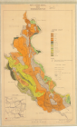
Generalized soil map (Peta Tanah Bagan-soils)
-
Sumatra soils: Alai Hilir, Kuamang Kuning, Hitam Ulu, Kubang Ujo; Singkut
-

Soil Map of Djatiluhur (250 000)
-
Semi-detailed soil map of the Sitiung II-S. Jujuhan area, West Sumatra
-

Peta Tana TindJau Propinsi Sulawesi Selatan (500 000)
-
Include: Soil Survey Map, Menggala
-
Include: Peta Tanah Detail (Desa) Sindangbaranghilir (10 000)