 FAO Map Catalog
Keyword
Honduras
Type of resources
Available actions
Topics
Keywords
Contact for the resource
Provided by
status
Scale
From
1
-
10
/
12
-

Include : Production of Cereals (fig. 2)
-

Include : Planted Areas in % of total area (fig. 4)
-
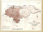
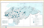
Mapa de la Republica de Honduras (Land in use for agriculture livestock excluded in % of total area)
Include : Land in use for agriculture livestock excluded in % of total area (fig. 6)
-
Include : Production of Cereals (fig. 2) Cattle Population (fig. 3) Planted Areas in % of total area (fig. 4) Land in use for agriculture livestock excluded in % of total area (fig. 6)
-

Include : Cattle Population (fig. 3)
-
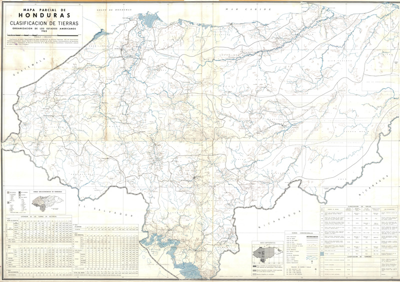
Include: Clasificacion de tierras, mapa parcial (250 000)
-
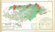
Include: Uso potencial de la terra (1 000 000)
-
Include: Geology (Map L9)
-
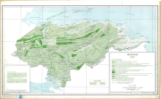
Include: State of ground (Map L8-T8);Description of the mapping units
-

Include: Soils-Agricultural (Map L5-T5); Description of the mapping units