 FAO Map Catalog
Global
Type of resources
Available actions
Topics
Keywords
Contact for the resource
Provided by
Years
Formats
Representation types
Update frequencies
status
Scale
Resolution
-
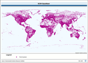
The "Minimum greenness onset - First growing cycle" (Onset_Greenness_Minimum_1) is one of the 19 Science Dataset (SDS) layers generated by the VIIRS/NPP Land Surface Phenology (VNP22Q2) product and represents the date at which canopy greenness reaches a minimum (dormancy onset, end of growing season, or end of fall). The following calculation has been used to scale the data according to the VIIRS Global Land Surface Phenology Product user guide: Scaled Data = Unscaled data – (given year-2000)*366 The VNP22Q2 dataset provides yearly land surface phenology data for the period from 2013 to present. The VNP22Q2 product generates phenological metrics of individual vegetation growing cycles on the vegetated land surface with a spatial resolution of 500m at global level between 60°S to 80°N. It is a level 3 product and follows the structure and file format of the high level global VIIRS data. For more detail, such as the definition of parameters and growing cycles, please visit the website of the data provider: https://lpdaac.usgs.gov/products/vnp22q2v001/.
-
The VNP22Q2 dataset provides yearly land surface phenology data for the period from 2013 to present. The VNP22Q2 product generates phenological metrics of individual vegetation growing cycles on the vegetated land surface with a spatial resolution of 500m at global level between 60°S to 80°N. The 500m VIIRS GLSP product is a level 3 product and follows the structure and file format of the high level global VIIRS data. For more detail, please visit the website of the data provider: https://lpdaac.usgs.gov/products/vnp22q2v001/
-
The "Minimum greenness onset - Second growing cycle" (Onset_Greenness_Minimum_2) is one of the 19 Science Dataset (SDS) layers generated by the VIIRS/NPP Land Surface Phenology (VNP22Q2) product and represents the date at which canopy greenness reaches a minimum (dormancy onset, end of growing season, or end of fall). The following calculation has been used to scale the data according to the VIIRS Global Land Surface Phenology Product user guide: Scaled Data = Unscaled data – (given year-2000)*366 The VNP22Q2 dataset provides yearly land surface phenology data for the period from 2013 to present. The VNP22Q2 product generates phenological metrics of individual vegetation growing cycles on the vegetated land surface with a spatial resolution of 500m at global level between 60°S to 80°N. It is a level 3 product and follows the structure and file format of the high level global VIIRS data. For more detail, such as the definition of parameters and growing cycles, please visit the website of the data provider: https://lpdaac.usgs.gov/products/vnp22q2v001/.
-
Full Digital Chart of the world Gazetteer database. The DCW_GZTR shapefile data layer is comprised of 151739 derivative point gazetteer and annotation features derived based on 1:1 000 000 data originally from DCW. The layer provides nominal analytical/mapping at 1:1 000 000. Data processing is complete globally, this is an African subset. Acronyms and Abbreviations: DCW - Digital Chart of the World.
-
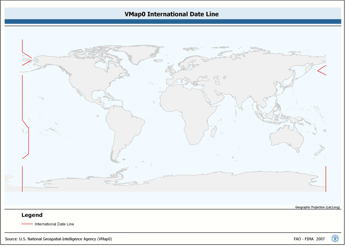
Seamless and topologically robust derivative of linear VMap0 - Ed5 Industry and related data layers. The INTDT_LN shapefile data layer is comprised of 82 derivative vector framework library features derived based on 1:1 000 000 data originally from VMap0, 5th Edition. The layer provides nominal analytical/mapping at 1:1 000 000. Data processing complete globally, this is an African subset. Acronyms and Abbreviations: VMap0 - Vector Map for Level 0.
-
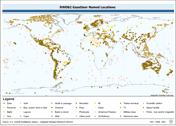
Point based gazetteer of named locations. The RWDB_GZTR shapefile data layer is comprised of 3031 derivative vector framework library features derived based on 1:3 000 000 data originally from RWDBII. The layer provides nominal analytical/mapping at 1:3 000 000. Data processing complete globally. Acronyms and Abbreviations: RWDB2 or RWDB II- Relational World Database II.
-
Seamless and topologically robust derivative of VMap0 - Ed5 data layers. The ED5LR_LN shapefile data layer is comprised of 5978 derivative vector framework library features derived based on 1:1 000 000 data originally from VMap0, 5th Edition. The layer provides nominal analytical/mapping at 1:1 000 000. Data processing complete globally, this is an African subset. Acronyms and Abbreviations: VMap0 - Vector Map for Level 0.
-
WRIBASIN: Watersheds of the World published by the World Resources Institute, A cleaned version of this watershed delineation enhanced to include WRI's original publication attributes. The WRIBASIN shapefile data layer is comprised of 254 derivative vector major river basins features derived based on ~250 000 cell data originally from WRI-Rutgers. Data processing is complete globally, this is an African subset.
-
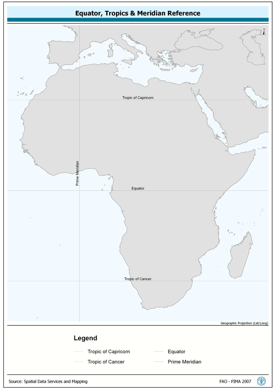
Provides spatial reference for Tropics of Capricorn and Cancer, the Equator and the Prime Meridian. The TROP_REF shapefile data layer is comprised of 4 derivative line reference lines for tropics-equator-meridian features derived based on 1:1 000 000 data originally from FIRI. The layer provides nominal analytical/mapping at 1:1 000 000. Acronyms and Abbreviations: FIRI - Inland Water resources and Aquaculture Service, recently changed in FIMA - Aquaculture Management and Conservation Service.
-
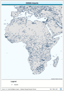
Point based representation of Airports. The RWDB_APRT shapefile data layer is comprised of 15044 derivative vector framework library features derived based on 1:3 000 000 data originally from RWDBII. The layer provides nominal analytical/mapping at 1:3 000 000. Data processing complete globally. Acronyms and Abbreviations: RWDB2 or RWDB II- Relational World Database II.