 FAO Map Catalog
Keyword
Ethiopia
Type of resources
Available actions
Topics
Keywords
Contact for the resource
Provided by
Years
Formats
Representation types
Update frequencies
status
Scale
Resolution
From
1
-
10
/
150
-
Include: Soil Map of Ethiopia; Handmade Field Map
-

Include: Topographic Map
-

Include: Chick peas
-
Include: Land classification, soil classification, land unit areas (ha)
-
Include: Soil association map of Wereta Gonder, Present land use map, Short term and long term development plan maps
-
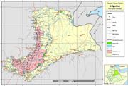
Wereda (administrative units) covered by pilot survey of irrigation schemes for the project GCP/GLO/207/ITA
-

Include: Barley
-
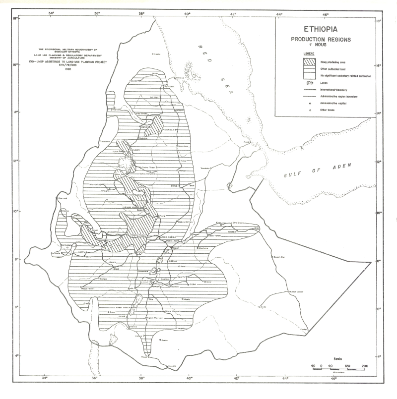
Include: Noug
-

Include: Horse beans and haricot beans
-
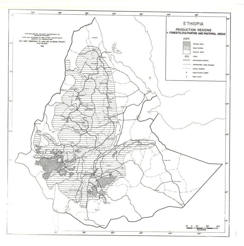
Include: Forestry, pasture.