 FAO Map Catalog
Djibouti
Type of resources
Available actions
Topics
Keywords
Contact for the resource
Provided by
Years
Formats
Representation types
Update frequencies
status
Scale
-
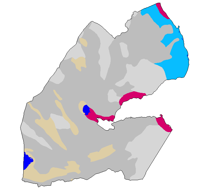
The Soil and Terrain Database Map of East Africa is a computer system for the storage, display, interpretation and analysis of the Soil Map of East Africa at scale 1:1.000.000. The system consists of the soil and terrain database with corresponding soil maps, that are accessed by the programme for visualization in different viewer formats. Various interactive querying and selection tools provide easy access to specific parts of the database for display as thematic map, data browser or data entry form.
-
This land cover data set is derived from the original raster based Globcover regional (Africa) archive. It has been post-processed to generate a vector version at national extent with the LCCS regional legend (46 classes). This database can be analyzed in the GLCN software Advanced Database Gateway (ADG), which provides a user-friendly interface and advanced functionalities to breakdown the LCCS classes in their classifiers for further aggregations and analysis. The data set is intended for free public access. The shape file's attributes contain the following fields: -Area (sqm) -ID -Gridcode (Globcover cell value) -LCCCode (unique LCCS code) You can download a zip archive containing: -the shape file (.shp) -the ArcGis layer file with global legend (.lyr) -the ArcView 3 legend file (.avl) -the LCCS legend tables (.xls)