 FAO Map Catalog
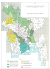
Drainage
Type of resources
Available actions
Topics
Keywords
Contact for the resource
Provided by
status
Scale
-

Includes: Land suitability for broadcast Irri Aus (Map 2)
-

Include: Soils-Agricultural (b/w and colour), (L-5),(T-5); Description of the mapping units
-
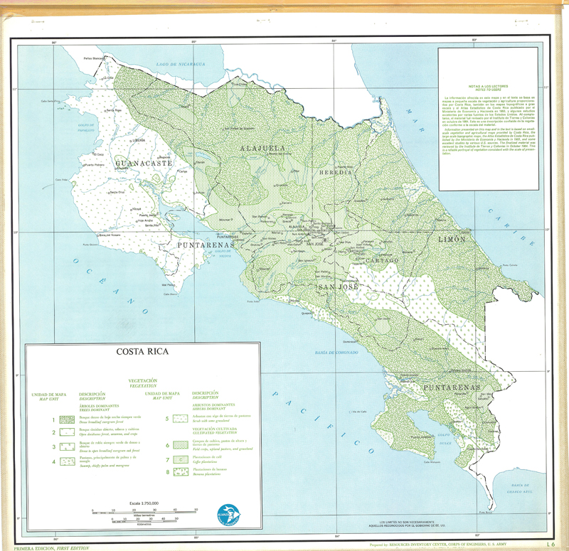
Include: Vegetation (L6),(t-6); Description of the mapping units
-

Includes: Proportion of land suitable for transplanted Irri aman (Map 3)
-
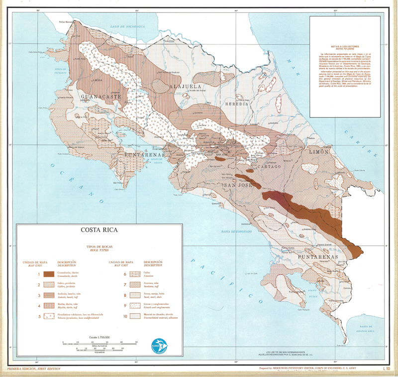
Include: Rock types (L-10),(T-10); Description of the mapping units
-
Includes: Proportion of land suitable for cultivation of oilseeds (mainly groundnuts, mustard and rapeseed (Map 5)
-
Includes: Land development units (Map 7)
-

Includes: Additional crop production possible from introduction of irrigated Irri rice (Map 4)
-
Includes: Areas best suited for concentrated extension effort for Irri rice varieties and Jute (Map 1)
-
Include: Drainage (L-3), (T-3); Drainage Map; Description of the mapping units