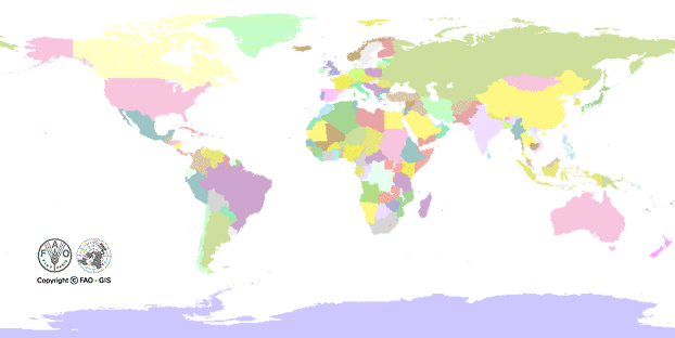
 FAO Map Catalog
Keyword
Coastlines
Type of resources
Available actions
Topics
Keywords
Contact for the resource
Provided by
Years
Representation types
Update frequencies
status
Scale
From
1
-
2
/
2
-
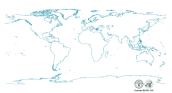
Coastline of the world extracted from Vector Map Level 0 and converted to Arc/Info format by FAO/GIS. Vector Map (VMap) Level 0 is an updated and improved version Digital Chart of the World (DCW).
-
DCW Coastline and International Boundaries (includes tile boundaries).