 FAO Map Catalog
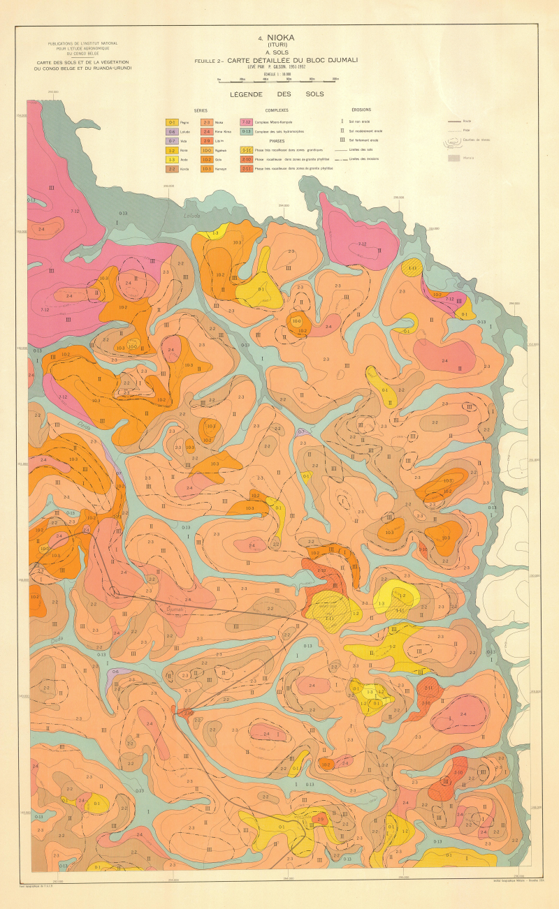
Carte des sols et de la végétation du Congo belge et du Ruanda-Urundi. 4. Nioka (Ituri) - (Carte détaillée du bloc Djumali)
Include:
Carte détaillée du bloc Djumali (10 000)
Simple
- Date ( Publication )
- 1954-01-01
- Presentation form
- Hardcopy map
- Status
- Historical archive
Point of contact
FAO - UN AGL Documentation Center
Via delle Terme di Caracalla
,
Rome
,
00100
,
Italy
- Hours of service
- 8.30 - 17.00
- Keywords
-
- Land
- Land Use
- Keywords
-
- Land Use
- Soil Types
- Vegetation
- Erosion
- Keywords ( Place )
-
- Congo, Dem R
- Denominator
- 50000
- Metadata language
- fre
- Character set
- UTF8
- Topic category
-
- Biota
N
S
E
W
))
- Supplemental Information
- ISIS Identifier: 001189; Number of sheets: 9; Related document location: AGL ZAI/S-3
Distributor
- Ordering instructions
- Location of the data: FAO -
- Name
- No digital format
- Version
- n.a.
- OnLine resource
- zaire-1189-carte_detaillee_du_bloc_djumali,nioka-soils-1-10,000.jpg ( WWW:DOWNLOAD-1.0-http--download )
- Hierarchy level
- Dataset
gmd:MD_Metadata
- File identifier
- da61cc5b-44b2-4dea-bfe2-ba3e2bf80786 XML
- Metadata language
- eng
- Character set
- UTF8
- Date stamp
- 2019-11-22T14:39:04
- Metadata standard name
- ISO 19115:2003/19139
- Metadata standard version
- 1.0
Custodian
FAO - UN AGL Documentation Center
-
Viale delle Terme di Caracalla
,
Rome
,
RM
,
00100
,
Italy
Overviews
large_thumbnail

thumbnail
Spatial extent
N
S
E
W
Provided by

Associated resources
Not available