 FAO Map Catalog
transportation
Type of resources
Available actions
Topics
Keywords
Contact for the resource
Provided by
Years
Formats
Representation types
Update frequencies
status
Scale
Resolution
-
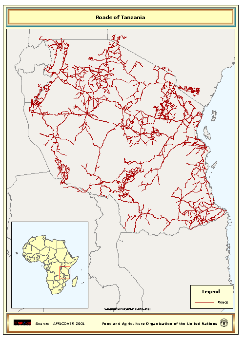
The Roads full resolution dataset have been produced from visual interpretation of digitally enhanced LANDSAT TM images (Bands 4,3,2) acquired mainly in the year 1997.
-
Linear roads layer consolidated from 3 separate source data layers. The RWDB_RD shapefile data layer is comprised of 72099 derivative vector framework library features derived based on 1:3 000 000 data originally from RWDBII. The layer provides nominal analytical/mapping at 1:3 000 000. Data processing complete globally. Acronyms and Abbreviations: RWDB2 or RWDB II- Relational World Database II.
-
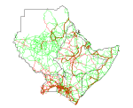
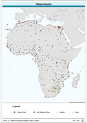
Roads in Djibouti, Eritrea, Ethiopia, Kenya, Somalia, Sudan and Uganda.
-
The full resolution dataset of roads have been produced from visual interpretation of digitally enhanced LANDSAT TM images (Bands 4,3,2) acquired mainly in the year 1999.
-
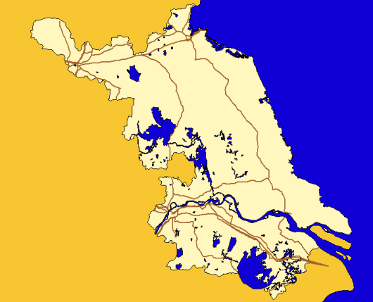
Roads, tracks and railroad lines within the Okavango Basin. Source: Digital Chart of the World (DCW) with partial update editing from remote sense data. This dataset is part of the GIS Database for the Environment Protection and Sustainable Management of the Okavango River Basin project (EPSMO). Detailed information on the database can be found in the “GIS Database for the EPSMO Project†document produced by Luis Veríssimo (FAO consultant) in July 2009, and here available for download.
-
Robust derivative of VMap0 - Ed5 data layers with harmonized encoding. The AIRPT_PT shapefile data layer is comprised of 762 derivative vector framework library features derived based on 1:1 000 000 data originally from VMap0, 5th Edition. The layer provides nominal analytical/mapping at 1:1 000 000. Data processing complete globally, this is an African subset. Acronyms and Abbreviations: VMap0 - Vector Map for Level 0.
-
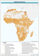
Seamless and topologically robust derivative of all linear Transport/Roads VMap0 - Ed5 data layers. The RD_LN shapefile data layer is comprised of 84205 derivative vector framework library features derived based on 1:1 000 000 data originally from VMap0, 5th Edition. The layer provides nominal analytical/mapping at 1:1 000 000. Data processing complete globally, this is an African subset. Acronyms and Abbreviations: VMap0 - Vector Map for Level 0.
-
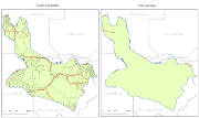
Major roads of Jiangsu Province, China at County level
-

The full resolution dataset of roads have been produced from visual interpretation of digitally enhanced LANDSAT TM images (Bands 4,3,2) acquired mainly in the period 1994-1999.
-
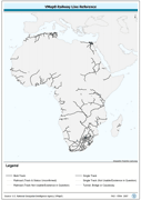
Seamless and topologically robust derivative of all linear Transport/Rail VMap0 - Ed5 data layers. The RR_LN shapefile data layer is comprised of 2492 derivative vector framework library features derived based on 1:1 000 000 data originally from VMap0, 5th Edition. The layer provides nominal analytical/mapping at 1:1 000 000. Data processing complete globally, this is an African subset. Acronyms and Abbreviations: VMap0 - Vector Map for Level 0.