 FAO Map Catalog
Keyword
.All Subjects
Type of resources
Available actions
Topics
Keywords
Contact for the resource
Provided by
status
Scale
From
1
-
10
/
53
-
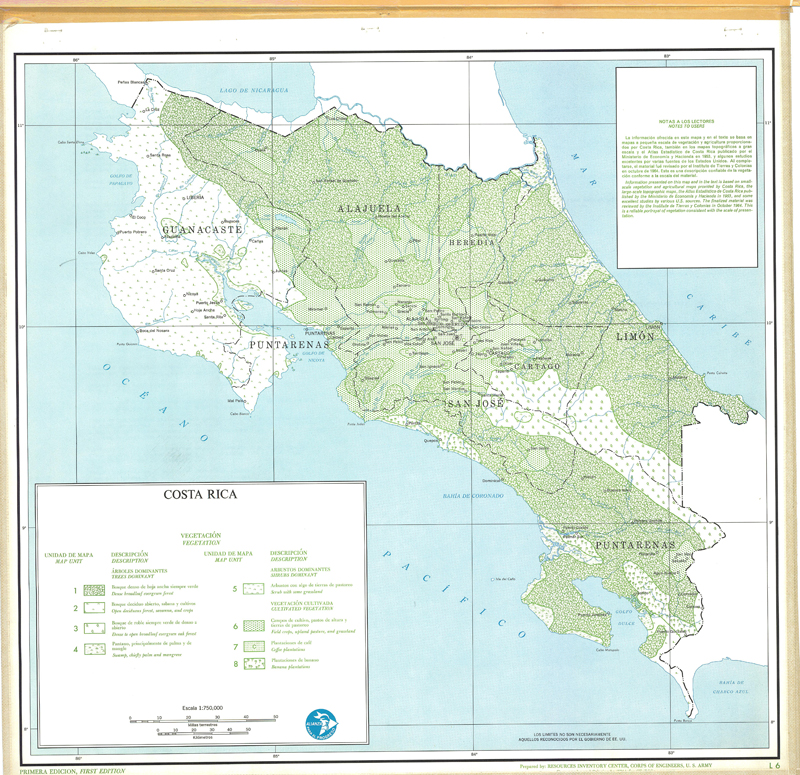
Include: Vegetation (L6),(t-6); Description of the mapping units
-
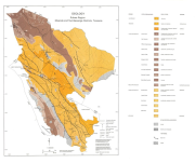
Include: Geology
-

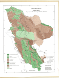
Include: Land systems, Sumbawanga
-
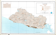
Include: Land potential, Mpanda
-
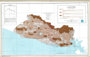
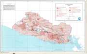
Include: Distribution of population, Development regions of the Guayas basin, Land use and forest types, Geology, Soils, The composite evaluation of natural resources,
-
Include: State of the ground (L-8), (T-8); State of the ground Map; Description of the mapping units
-

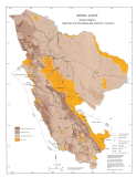
Include: Land use (L-17), (T-17); Land use map; Description of the mapping units
-
Include: Surface configuration (L-2), (T-2); Surface configuration Map; Description of the mapping units
-
Include: Geology (L-9), (T-9); Geological map; Description of the mapping units
-
Include: Modal slope, Mpanda