Graphic overview
From the dataset abstract
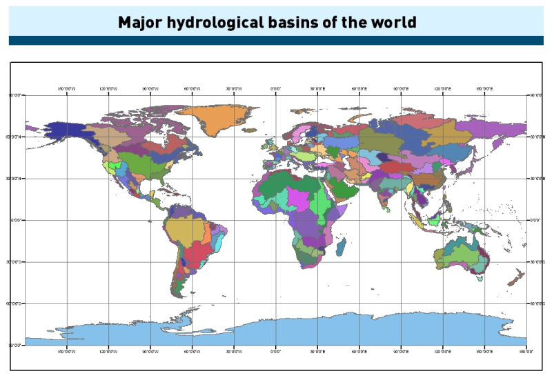
This dataset was obtained by delineating drainage basin boundaries from hydrologically corrected elevation data (HydroSHEDS and Hydro1K). Input data resolution is 15 arc-seconds between...
Metadata:
fileDescription
Major hydrological basins of the world (PNG)
name
Graphic overview
Options:
imported
True
imported_on
2021-12-16 17:35:26.866827
source_format
xml
source_url
https://data.apps.fao.org/map/catalog/srv/api/records/7707086d-af3c-41cc-8aa5-323d8609b2d1/formatters/xml?approved=true
Type:
graphic-overview